Data Descriptions
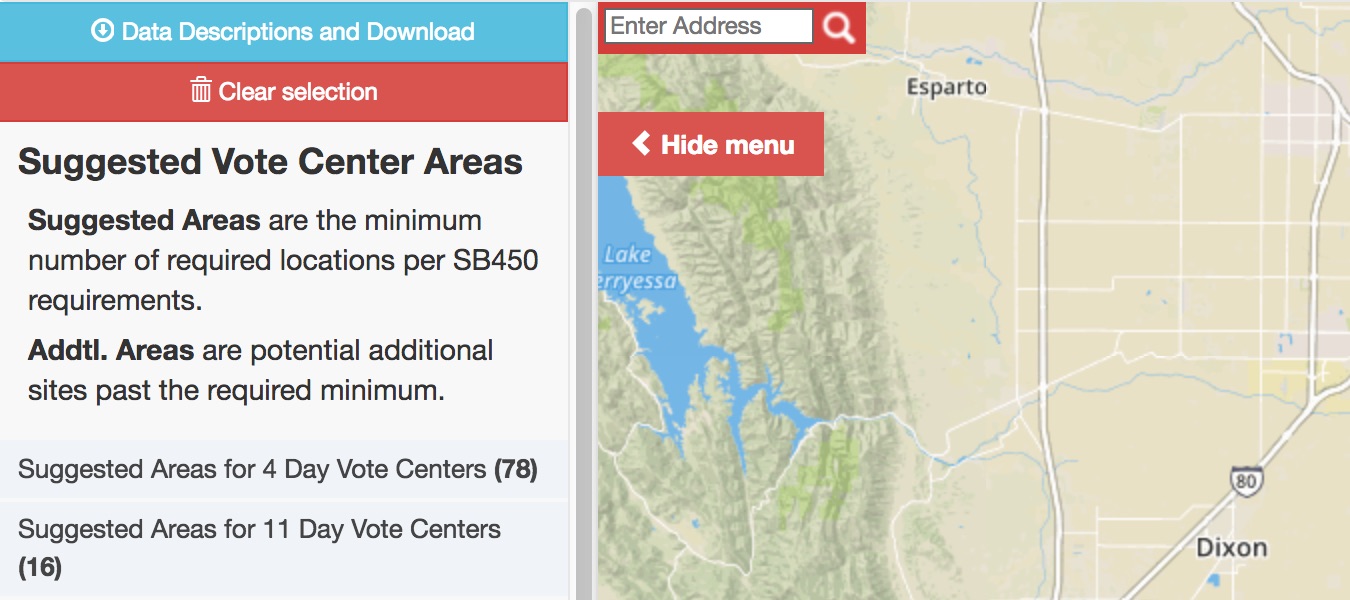
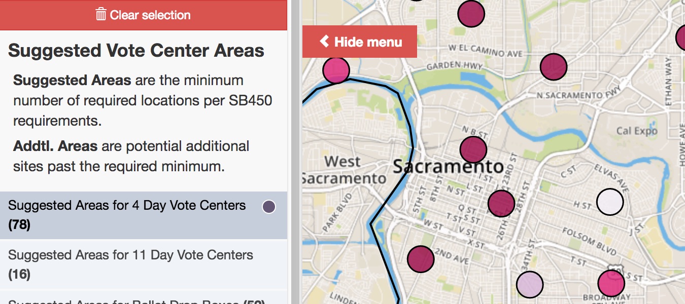
Suggested Vote Center Data
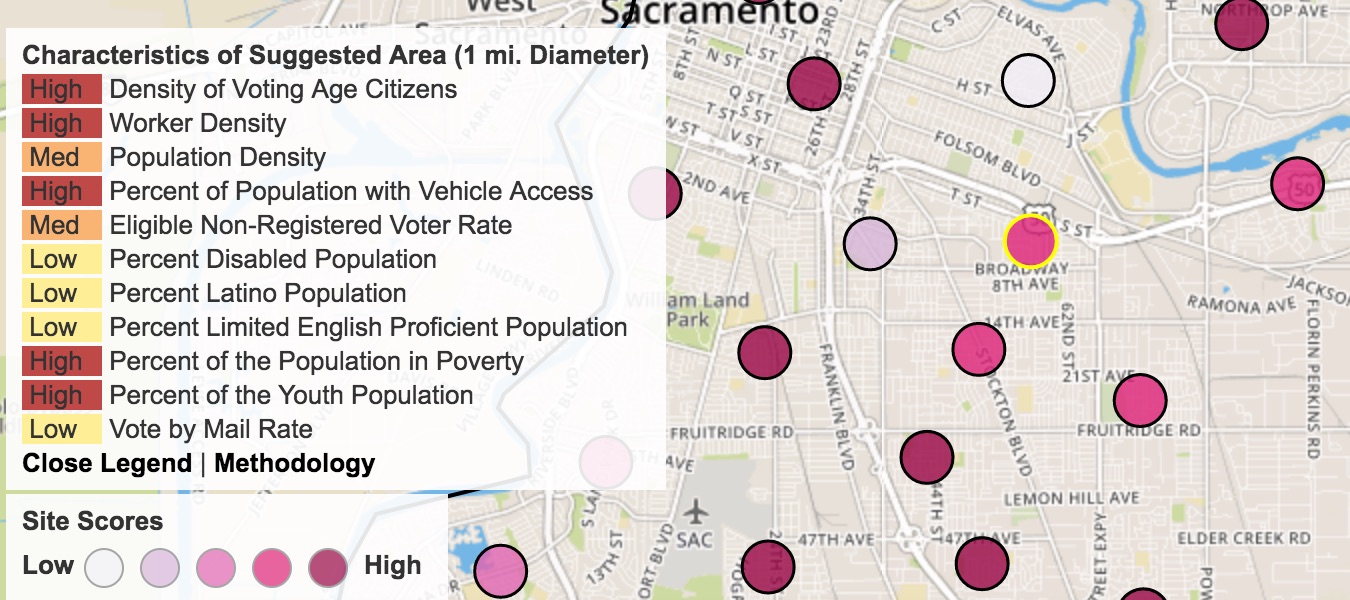
Sites are colored based on their relative rank out of all potential sites as determined using natural breaks. The individual components of the composite score are displayed in the legend as being either High, Med or Low. The High/Med/Low are based on the distribution of scores for each component and ranked using natural breaks.
-
Suggested Sites: Sites that have been identified as being strategically located to voters and fulfilling requirements of VCA. This reflectes the minimum number of sites required.
-
Additional Suggested Sites: Sites that are suggested if additional sites over the required minimum are desired. These sites assume the existence of the Suggested Sites.
- Based on Model: Additional 10% of sites that were generated from the Facility Location Model which minimize the total travel cost for all people in the county.
- Based on Distance: Additional sites that were identified based on their potential to decrease travel times for communities that have travel times over ~15 minutes to their nearest site.
-
All Suitable Sites: These are all sites that had a minimum of population, built environment, roads, etc. where a vote site could potentially be located. This site can be used to identfy nearby sites with similar scores if the suggested site does not contain an actual reasonable voting location.
Points of Interest
Points of Interest (POI) are sourced from OpenStreetMap. The POIs are intended to help identify potential voting sites, or highlight that an area has some concentration of activity.
- Non-Government POIs: These include schools, hospitals, kindergartens, community centers, arts centers, colleges, universities, malls, nursing homes, supermarkets, hostels and motels.
-
Government POIs: These include post offices, fire stations, libraries, town halls, public buildings, police stations and courthouses.
Indicator Data
-
Transit Stops: Transit points indicate the location of transit stops in the county and are sourced from regional GTFS data feeds. Transit stops have been ranked from low to high use based on the frequency of service to the individual stop.
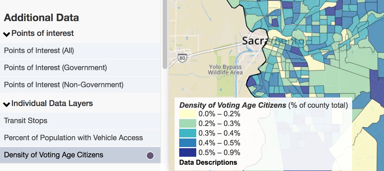
Population Data
Data Downloads
Vote Center Data
Indicator Data